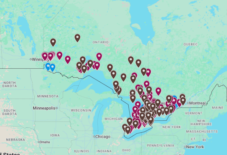
140,000+ VISITORS AND COUNTING
Open the full interactive map →
A project mapping the forgotten and overlooked corners of Ontario's provincial highway system - from abandoned roads and old signs, to historical facts and unique features.
Found something strange on an Ontario highway that isn't on the map yet? Send in the location and details - every submission gets a look.
Submit a suggestion →
I'm Jonathan, a civil engineering student at the University of Waterloo with a passion for transportation. From a young age, I have taken interest in the systems that keep us moving, especially roads.
I created Ontario Oddities, a map documenting the history and quirks of the Ontario highway system, with the goal of making this information easily accessible. Ontario Oddities has reached over 250k visitors across different platforms and has earned me four features on the CBC.
I'm also working on writing articles for my Substack, to both expand my knowledge and communicate topics in the transportation world.
Posters, mousepads, customizable signs, and more.
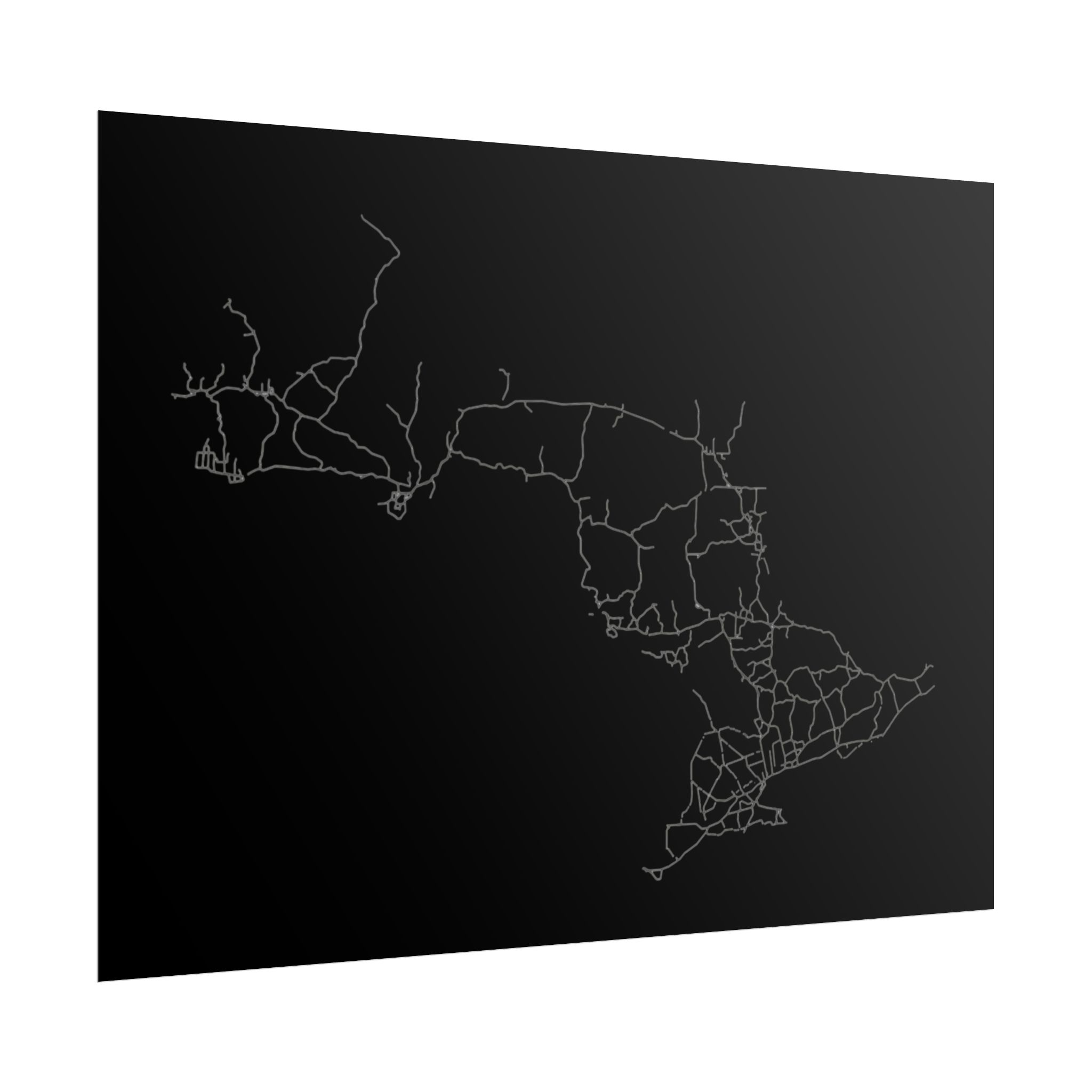
A minimalist rolled poster that maps the Ontario highway network in silver lines against a black background.
A custom-cut acrylic standee of a customizable Ontario highway shield.
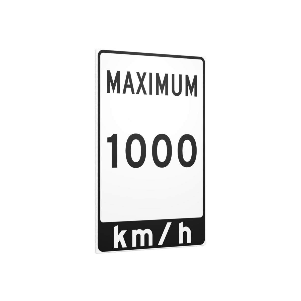
A lightweight, rigid display board with a customizable speed limit sign.
My echo chamber on transportation. Subscribe for free (no account needed) to get articles sent straight to your inbox.
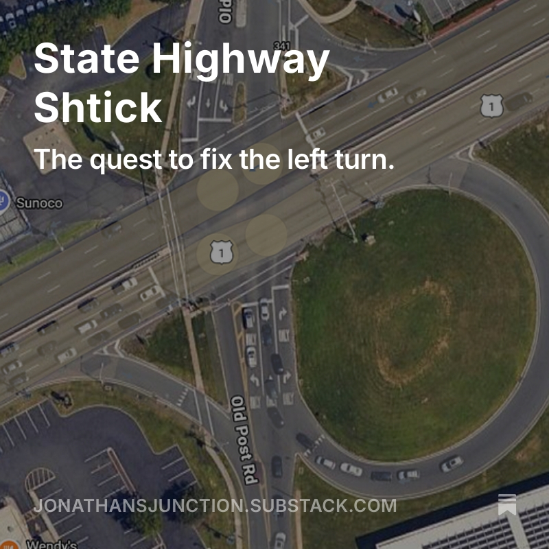
The quest to fix the left turn.
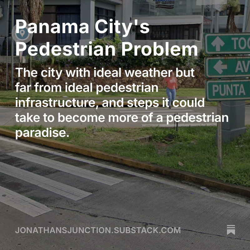
Ideal weather, far from ideal pedestrian infrastructure.
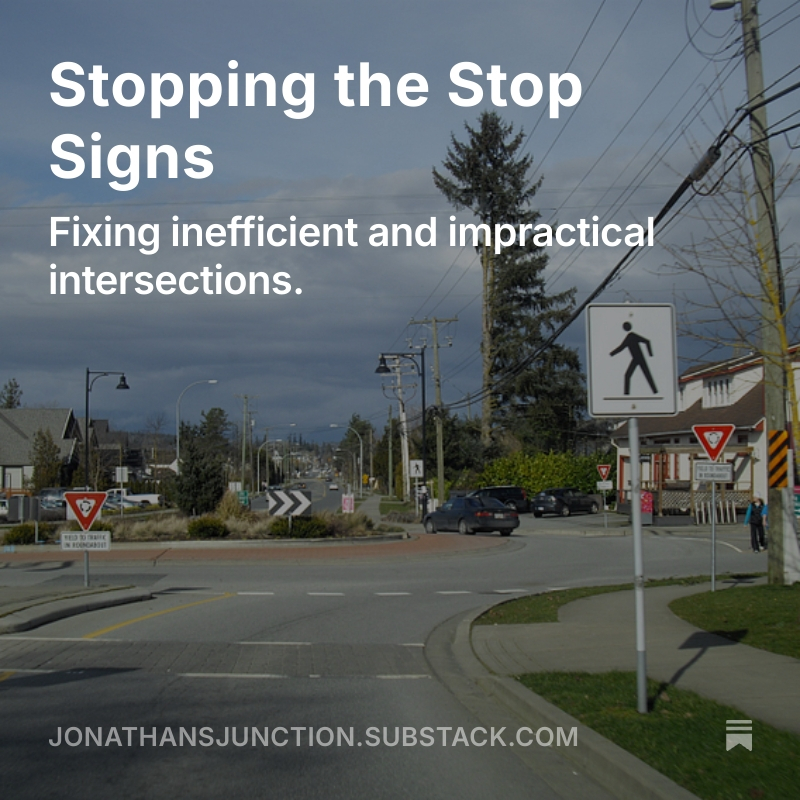
Fixing inefficient and impractical intersections.